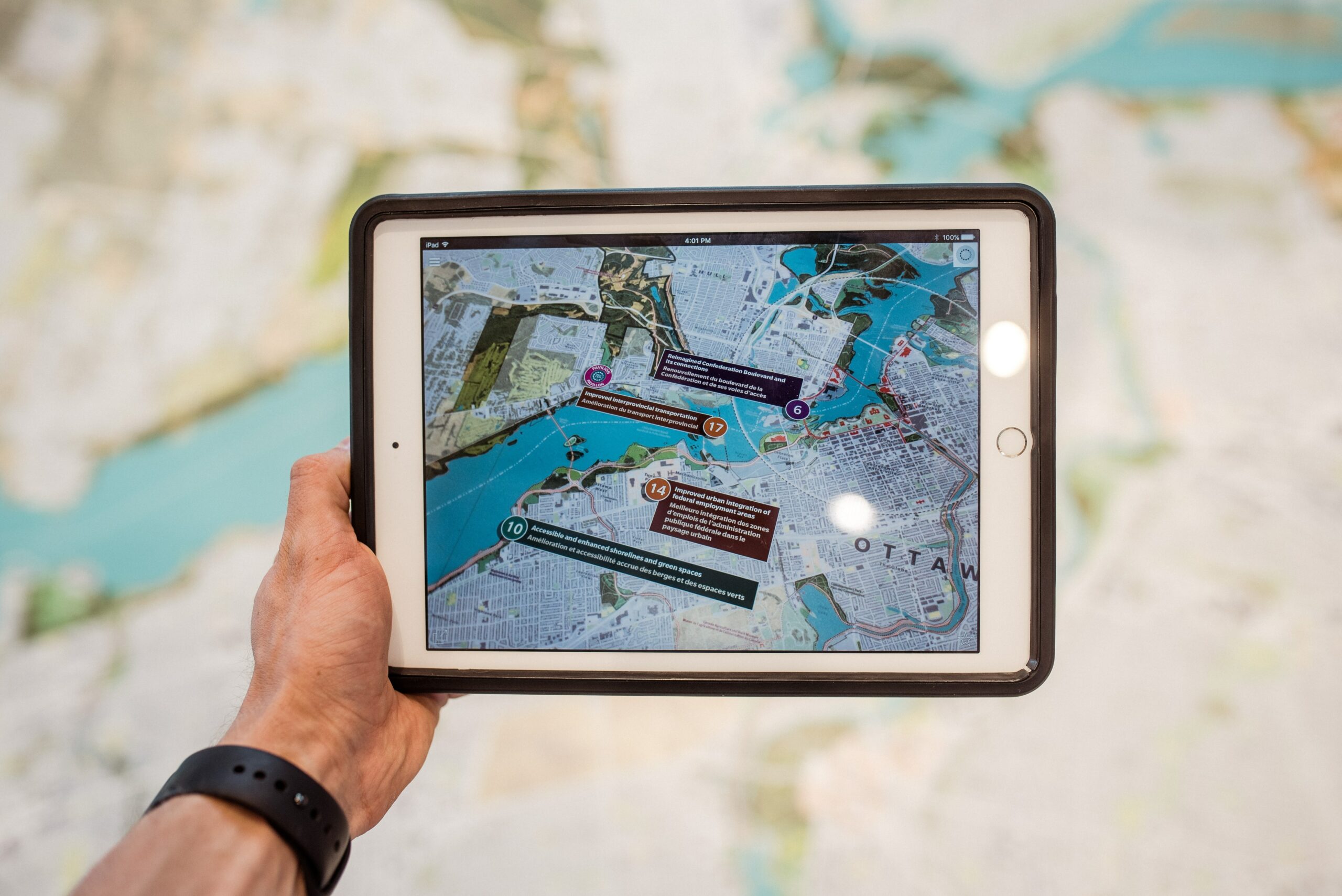
Mapping Solutions

Charting the Future
In the realm of mapping and cartography, Alamance AI brings a fresh perspective with Lidar-based mapping solutions. Experience unparalleled accuracy and detail in geographical data, opening new possibilities for navigation and exploration.
High-Resolution
Mapping
Capture intricate details with high-resolution Lidar mapping.
Create comprehensive and accurate maps suitable for various applications, ensuring precision in geographical data.
Topographic
Analysis
Perform detailed topographic analysis using Lidar data.
Enhance decision-making in urban planning, environmental monitoring, and infrastructure development with comprehensive insights.
Autonomous Navigation Support
Enable autonomous navigation systems with Lidar technology.
Enhance precision and safety in navigation across diverse environments, opening new possibilities for exploration and efficient transportation.